
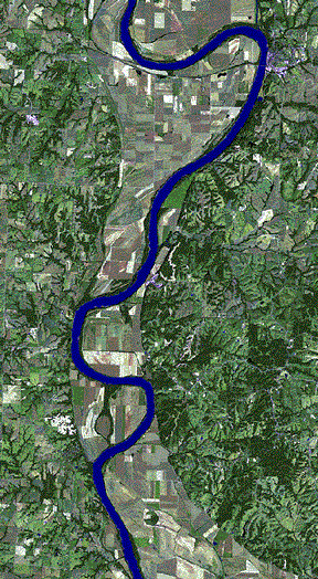
Before the flood
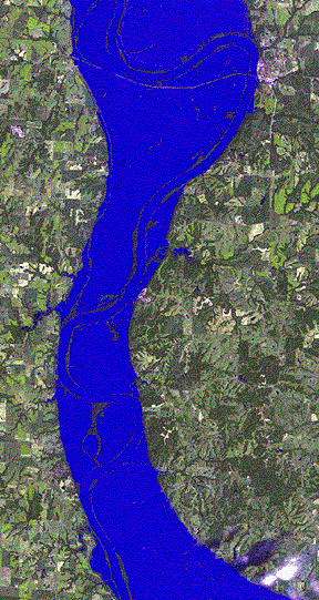
During the flood
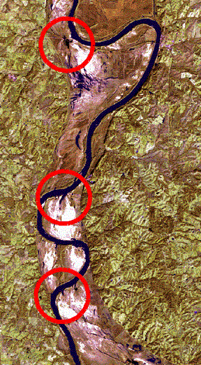
After the flood
NASA Images of flood around St. Louis
Flood damage maps from the Army Corps of Engineers
| Go back to previous page | |
| D. Gorton's Home Page Jane Adams' Home Page Memory and Judgment: Mississippi The White South Contact Us |
|||||||||
|
This page was last modified on:
|
|||||||||